Date added: 2023-06-12
"Chicks grow feathers" – Full Completion of Aviation Training

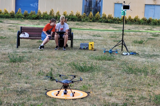
A group of students from the Geodesy and Cartography profile in Low Altitude Photogrammetry are completing their aviation training as part of their studies.
This training has been ongoing for 4 months, and regular drone flights allow them to continuously improve their piloting skills. Our fledglings, who not long ago were taking their first timid and nervous flights, now confidently venture beyond line of sight.
Students majoring in Geodesy and Cartography have access to 4 aerial platforms, which provide a wide range of opportunities to learn the ins and outs of piloting and operating various systems
- Pelixar LAB – for learning the construction, programming, and operation of the drone itself;
- Pelixar EDU – a special dedicated training platform for performing flights within and beyond line of sight. This drone is designed in such a way that it can safely and without losses undergo basic training, while fully understanding the dynamics of such a system in flight.
- Yunecc H3 with Leica camera – a commercial platform designed for aerial filming with a high-end Leica camera. A typical representative of commercial design that enables flights beyond line of sight, HD image transmission to the base, numerous interesting features for monitoring, tracking, and filming.
- DJI Mavic 1 Pro – a typical and very popular commercial drone that allows flights beyond line of sight, programmed data collection for geodetic purposes, flights following planned routes, capturing photos and videos in high resolution.
Ahead of the students are still automatic flights along a programmed route, practical and theoretical exams. During their studies, students undergo comprehensive theoretical and practical training to obtain a European certificate of drone pilot competence, allowing flights within and beyond line of sight BVLOS in the special category – national scenario NSTS-05 < 4 kg.


